Where is our heritage located?
One of the most defining traits of immovable heritage is right there in the name: it doesn't move. Our landscapes, monuments, archaeological sites and so on all have a location, and with a few odd exceptions, they always have. Move such an object from its original spot and it stops existing as that object. So how do you find out what's located where?
As a person, you have a few options. Head to our Geoportal and zoom in on a location to see, in a couple of clicks, what heritage is present there. If maps aren't your thing, our Inventory lets you search for all heritage in a given street or municipality through a search form — less precise, perhaps, but a quick way into the history and architecture of your neighbourhood.
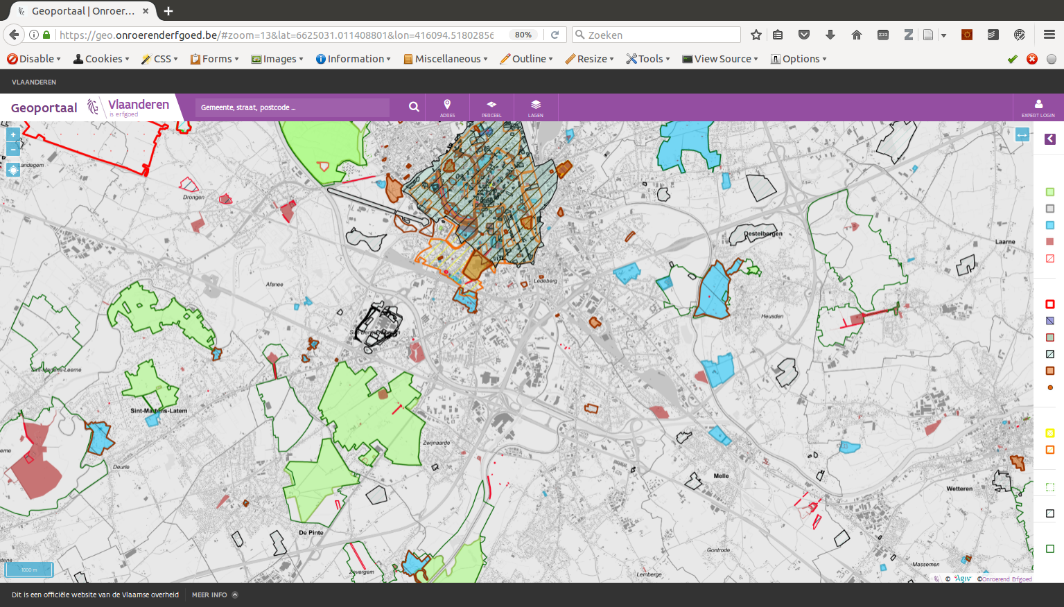
All geographic information about immovable heritage can be found at https://geo.onroerenderfgoed.be
If you'd rather work with the data yourself, our heritage inventories and our protected and listed heritage sites can be downloaded as GIS files, each geometry carrying a URL to more information. Handy offline, but regenerated every night — so a day-old download is already stale. If you need the current state at all times, our OGC webservices via our Geoserver always reflect the latest data, unlike the downloads.
Finally, if you're technically inclined and want to use our data directly in your own systems, there's Geozoekdiensten ("geo search services"). Right now this is a single webservice built to answer exactly one question: what's located in this area? You send it a geometry, and it tells you which heritage lies wholly or partly within it — a simple JSON structure with an id, a uri, a type and the full geometrie for each object. We've been using this service internally for a while, and are now happy to share it.
In a follow-up post (Geozoekdiensten: what's here?) we explain exactly how to use this service.