Heritage printed on a map
The Geoportal (Where is our heritage located?) makes it easy for a person to see where our heritage is, and Geozoekdiensten (Geozoekdiensten: what's here?) lets a machine ask what heritage sits in a given area. But what do you do with that information next? As of recently, it's easier to turn it into your own maps.
Static map generator
Generating this kind of map is done with the static map generator, a module built for Flanders Heritage Agency together with external partners. Its purpose: assemble static maps from a mix of geographic formats (such as GeoJSON), a background layer (such as WMS), and layout overlays like text and a scale bar. Based on a configuration file, the generator merges all layers into one image with a scale bar, returned either as an image file or as base64.
The generator works both as a Python module and as a REST service, so it's easy to plug into your own project — use the library directly if you work in Python, or run it as a standalone application on a server if you don't.
A municipality's heritage atlas
The inventory is a great tool for learning about our heritage, but sometimes a local copy is handy — say, to take on the road without an internet connection. Combining a few of our services lets you build your own heritage atlas.
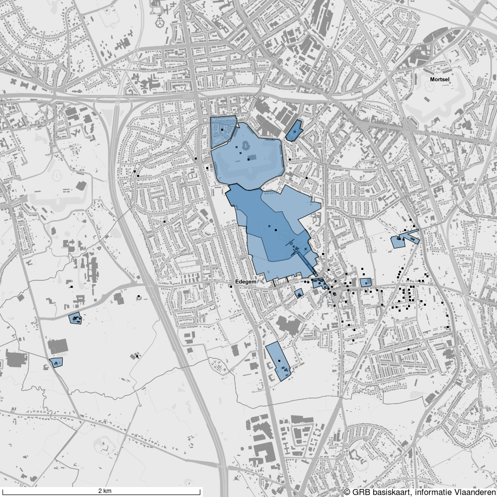
As an example, we use the municipality of Edegem. First, all heritage objects and designation objects within the municipality are fetched via the geo search services. Then a base configuration is set up for the image: background layer, text, width and height. Each object's geometry is added as a separate layer, and finally the configuration is handed to the static map generator, which returns the image. Edegem's own boundary comes from a GeoJSON file based on data from Informatie Vlaanderen. The full script is on GitHub.
That gets you a map of all the heritage we know about in Edegem:
Zooming in on individual objects
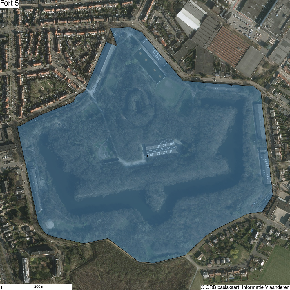
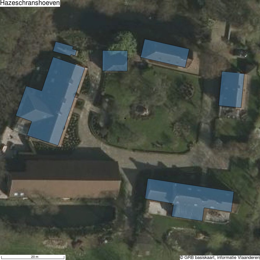
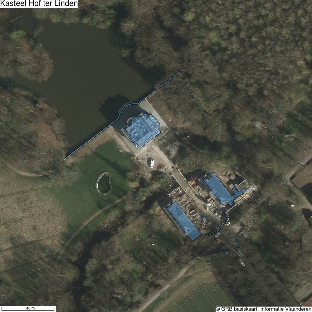
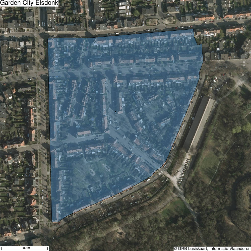
You can also generate a separate map for each heritage object — for example with a different background layer, and the object's name printed on the map. That gives you one map per object from the inventory, ready to print or process further. As always, both our data and that of Informatie Vlaanderen are open data, free to reuse.
Fort 5
Hazeschranshoeven
Kasteel Hof ter Linden
Garden City Elsdonk
Want to try the map generator yourself? Check out the static map generator on GitHub, or browse the live API docs at https://geo.onroerenderfgoed.be/zoekdiensten/api_doc.